

 Awaiting profile
Live Plants
Hidcote Blue Lavender Plants & Plugs - Lavandula angustifolia
Zone, tested pH, sun and drainage are evaluated independently.
View plantSearch your location on the map. Then confirm the exact zone so the rest of this guide can respond to you.
Select a zone to see its 5°F average annual extreme-minimum temperature band.
USDA zones use 1991–2020 weather data. They do not measure the coldest temperature that can ever occur, summer heat, humidity, freeze timing or soil performance.
Explore a measured educational parcel, then enter evidence from the actual planting site. The model is representative—not parcel data.
| Element | Model measurement | Meaning |
|---|---|---|
| Parcel | 320 × 220 ft | Demonstration footprint, not the visitor’s property |
| Relief | 6.8 ft maximum | Illustrates runoff toward a modeled low point |
| Raised bed | 6 in high | Extension-backed production example; final design requires a site check |
| Mature lavender | Up to 3 ft wide × 2 ft high | Representative English lavender form |
Cold-hardiness is a gate, not a guarantee. Missing inputs stay visibly incomplete.
Awaiting profile
 Awaiting profile
 Awaiting profile
 Awaiting profile
 Awaiting profile
 Awaiting profile
Short answers open into practical guidance and primary sources, without hiding uncertainty.
The 2023 USDA map is based on the average coldest winter night of the year, using 1991–2020 weather data. Each zone spans 10°F and each half zone (a or b) spans 5°F. It says nothing about summer heat, humidity, rainfall or soil.
Slopes, low spots, buildings, pavement, wind and nearby water all create small pockets that run warmer or colder than the map. Cold air settles in low ground, so a hilltop and the bottom of the same field can behave like different zones.
Lavender handles cold far better than wet roots. In Michigan, more plants are lost to soggy soil in late winter and spring than to low temperatures. Plant in fast-draining soil, on raised beds or mounds, and keep the crown out of standing water.
Lavender prefers neutral to slightly alkaline soil, around pH 6.5 to 8. A soil map is a starting point, but only a test of your own planting area tells you whether lime is needed. Your county extension office can point you to an affordable soil test.
English lavender (Lavandula angustifolia) cultivars such as Hidcote and Munstead are generally the most cold-hardy. Lavandins (Lavandula × intermedia), such as Phenomenal and Grosso, grow larger and are prized for oil and bundles. Hardiness varies by cultivar, so check each plant's listed range.
Plant in spring once the soil can be worked and hard freezes are past, so roots can establish before winter. Plants set out late in the season go into winter with small root systems and are more likely to heave out of the ground or rot.
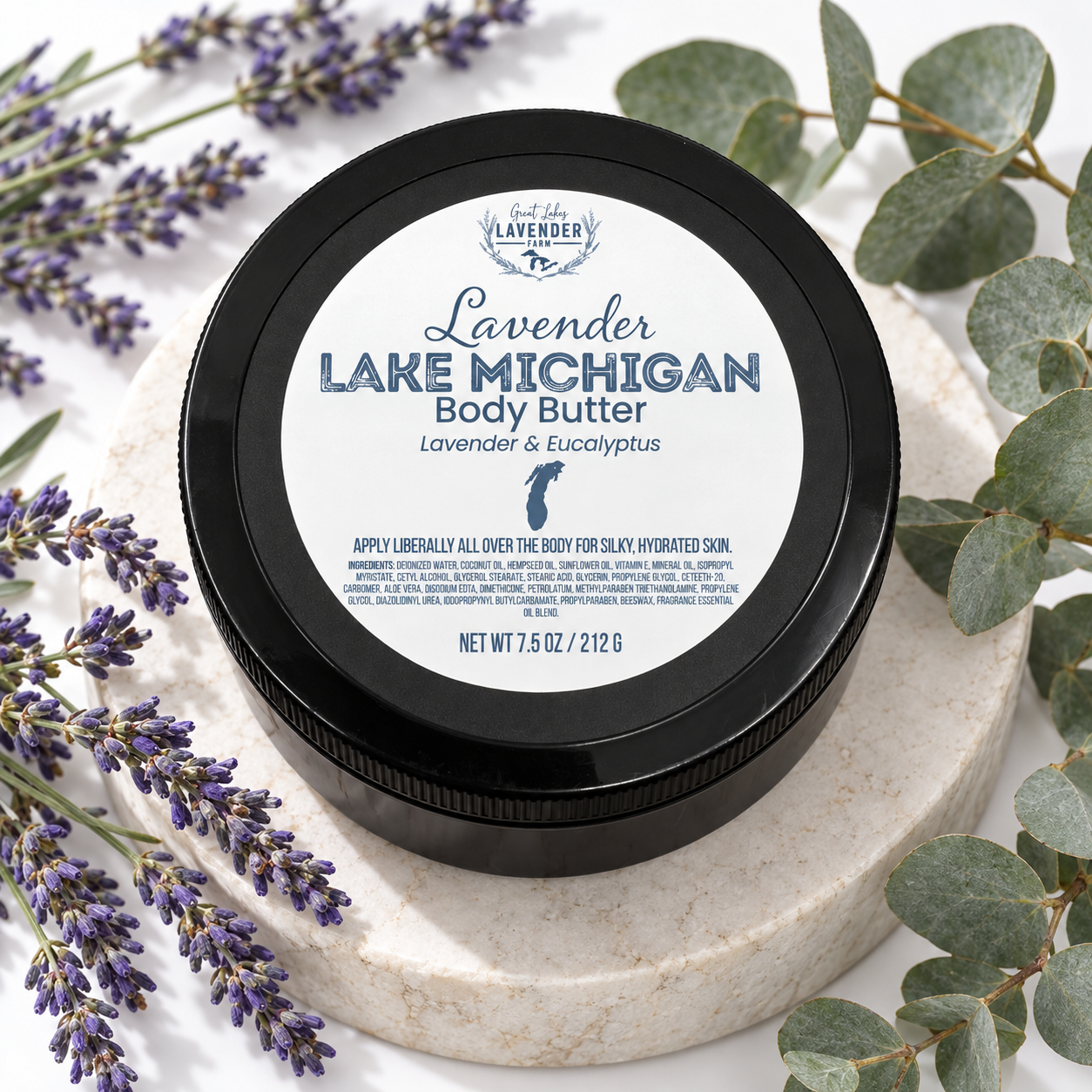
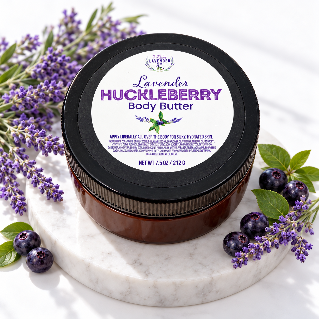
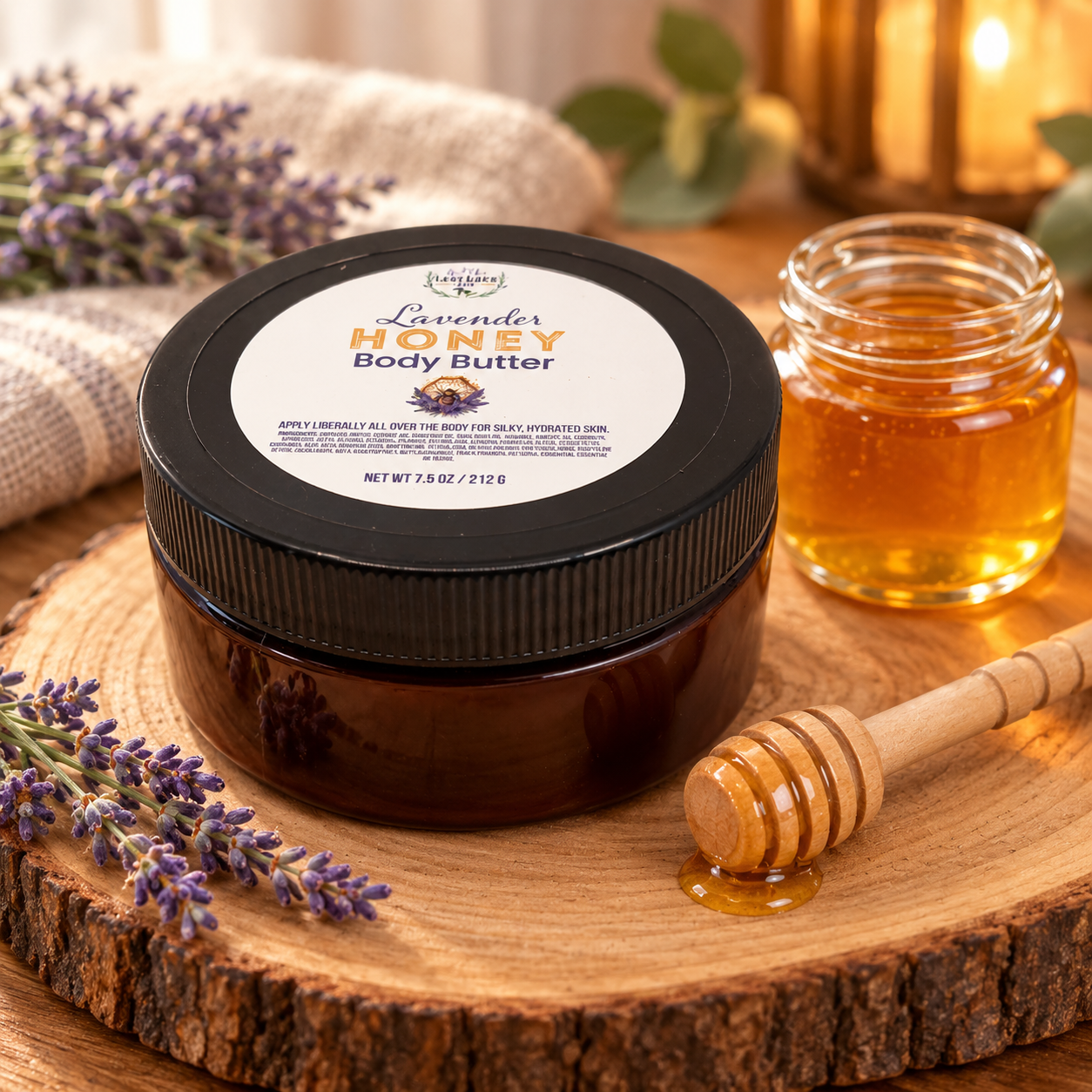
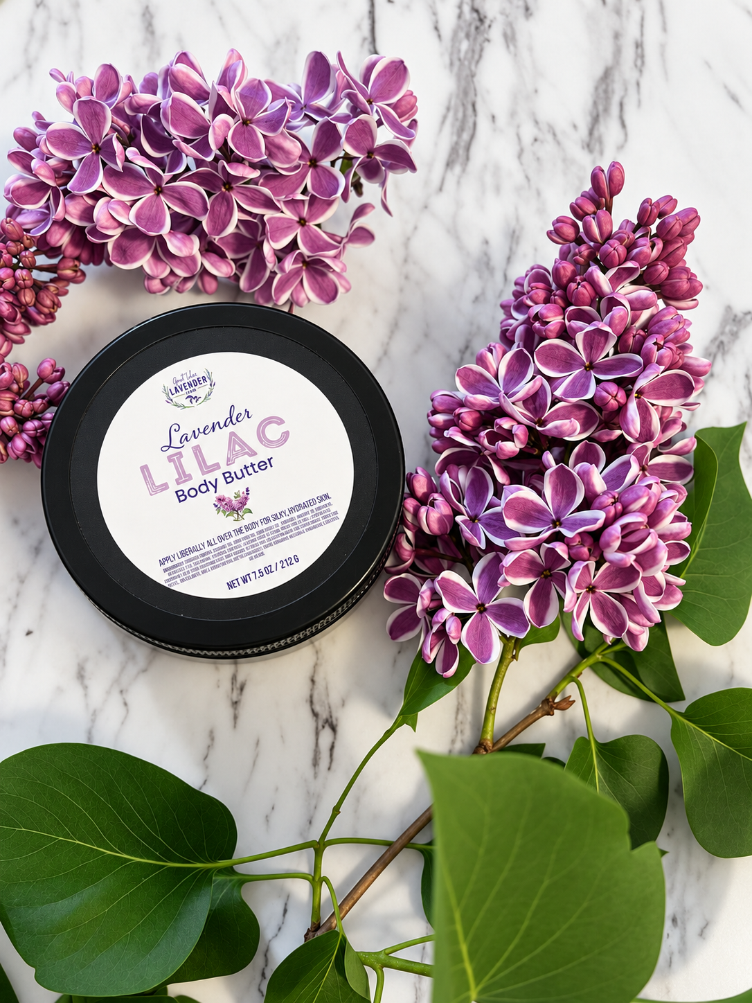
You may also like

Here to help while we’re tending the farm